

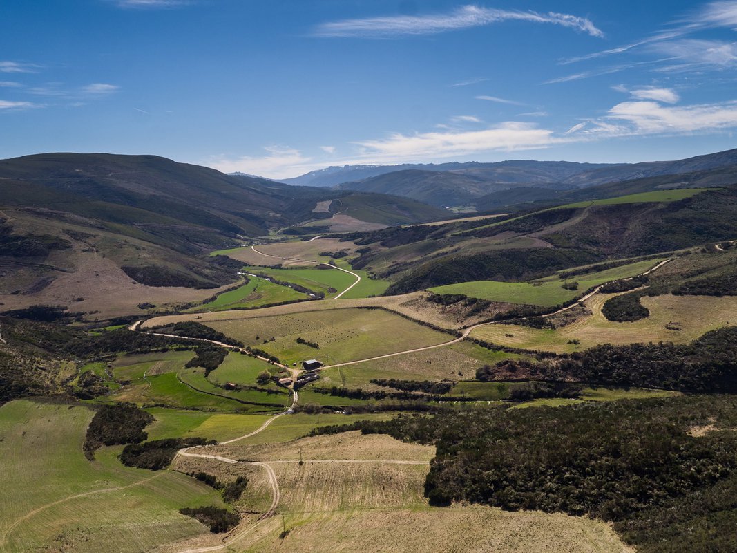
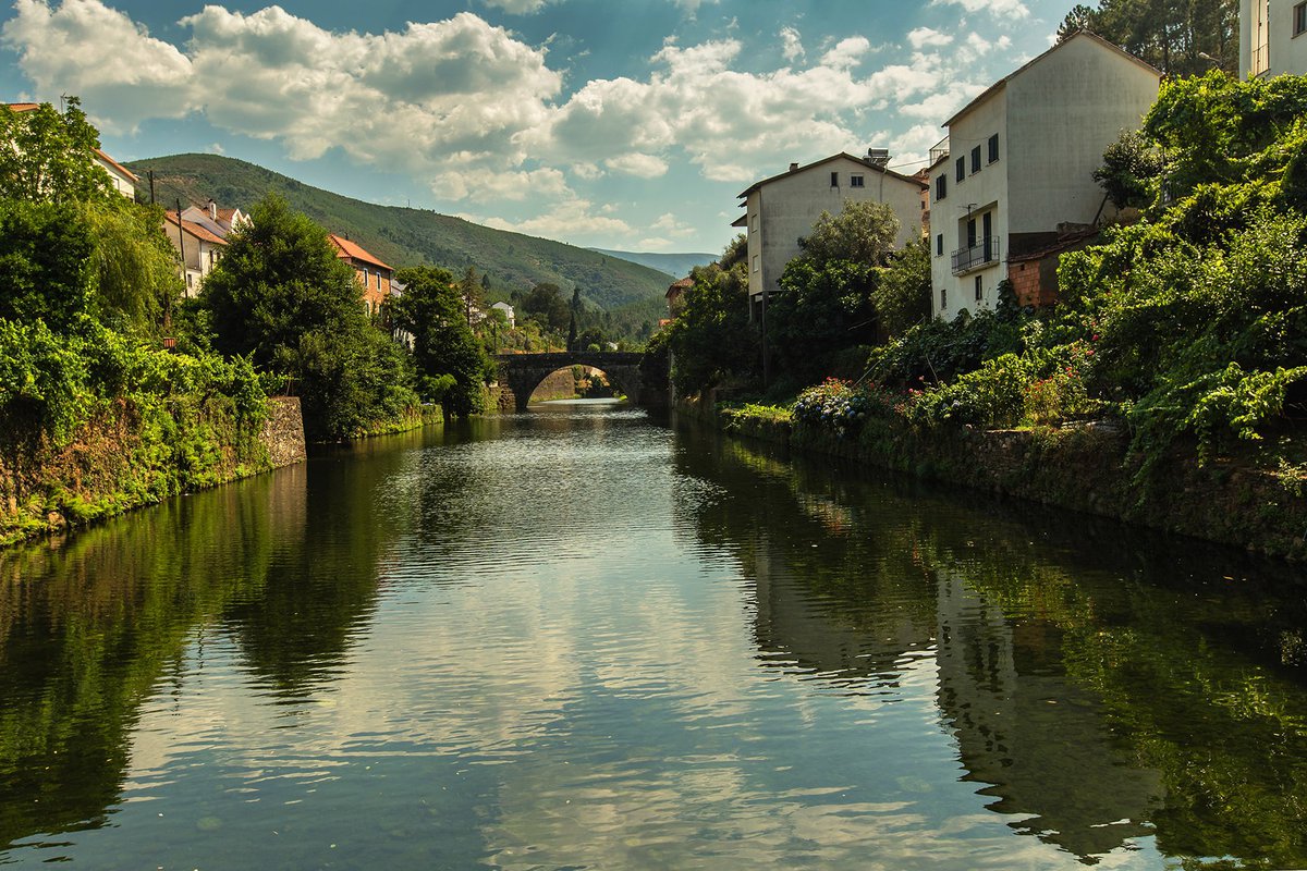
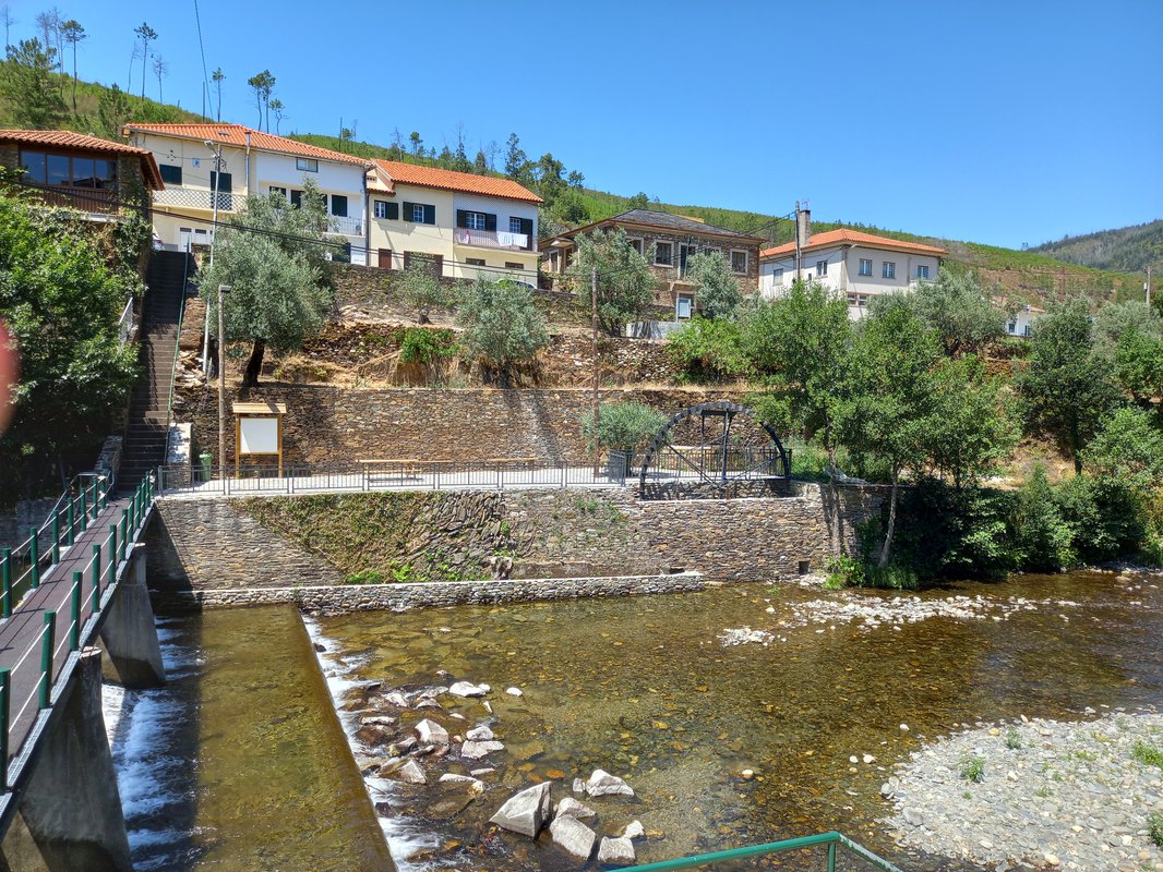
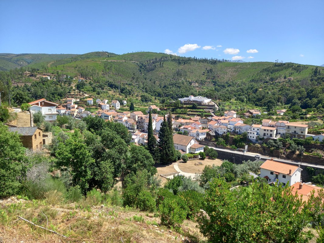
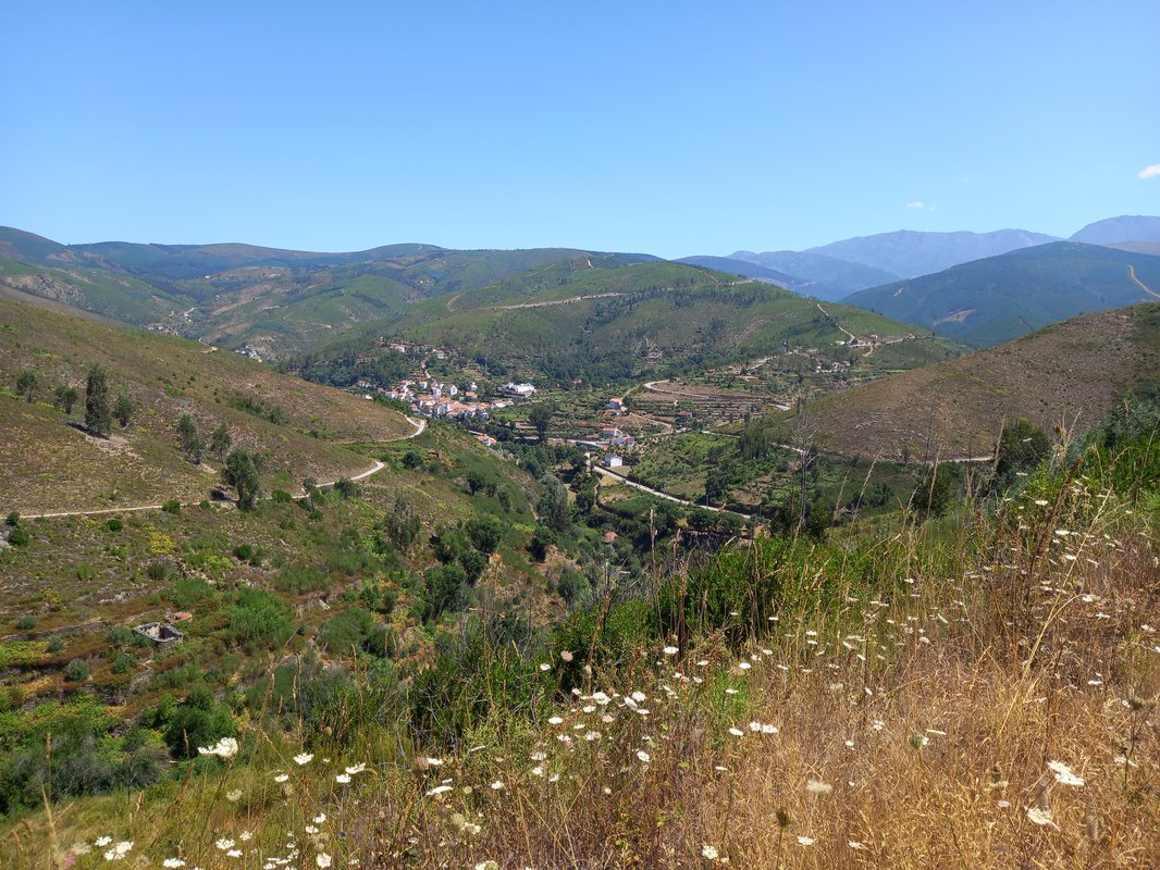
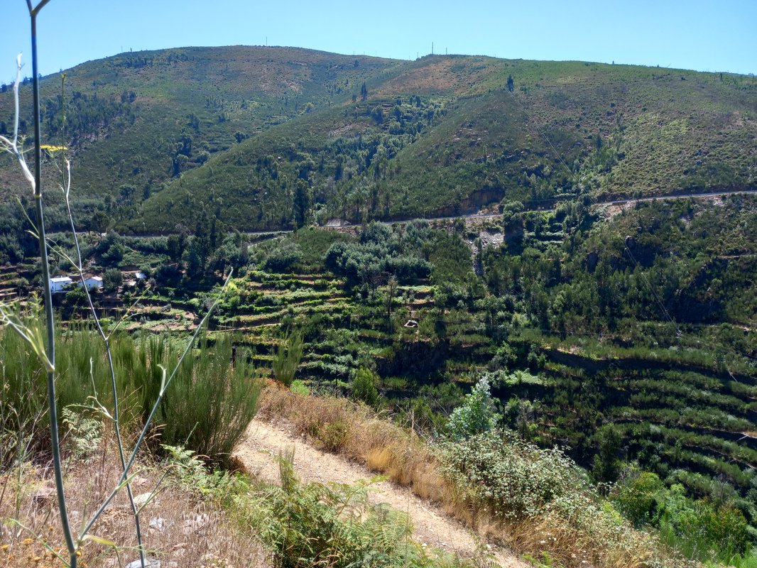
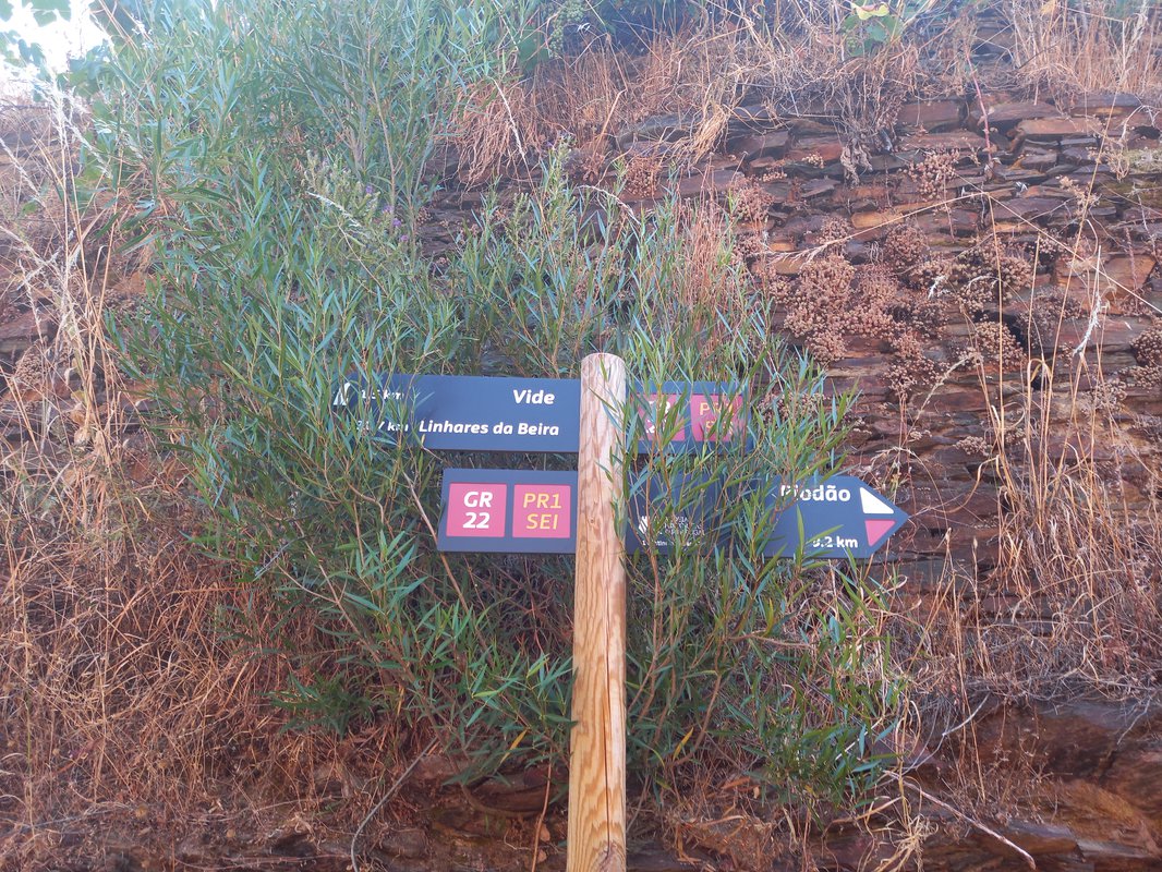
The Meanders Route runs through a valley with a scattered population, wedged between the foothills of the Estrela and Açor mountains. The human occupation of this territory is ancient, as evidenced by the various nuclei of engraved rock art dating back to the Neolithic period.
The former Ribeira de Piódão Route (PR1 SEI) was improved and converted into the current Route of Meanders.
The Ribeira de Loriga route runs along an extensive valley, lodged on the Southern flank of the Estrela mountain range. On the way, the tenacity of the people who live here is evident in the vast areas of fields built in terraces and in the manmade wells, known as "poços de broca", one of the most singular aspects of the mountain rural landscape.
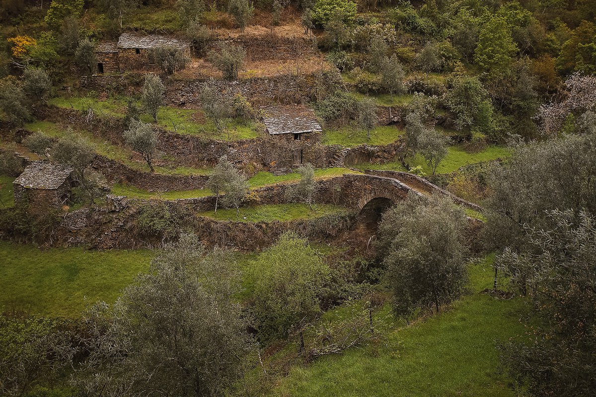
The Terraces route, which begins in the picturesque village of Cabeça, runs through a green valley where vast areas of terraces stand out. In this eminently rural landscape, it is still possible to witness the typical customs and traditions of the villages in the Estrela mountain range.
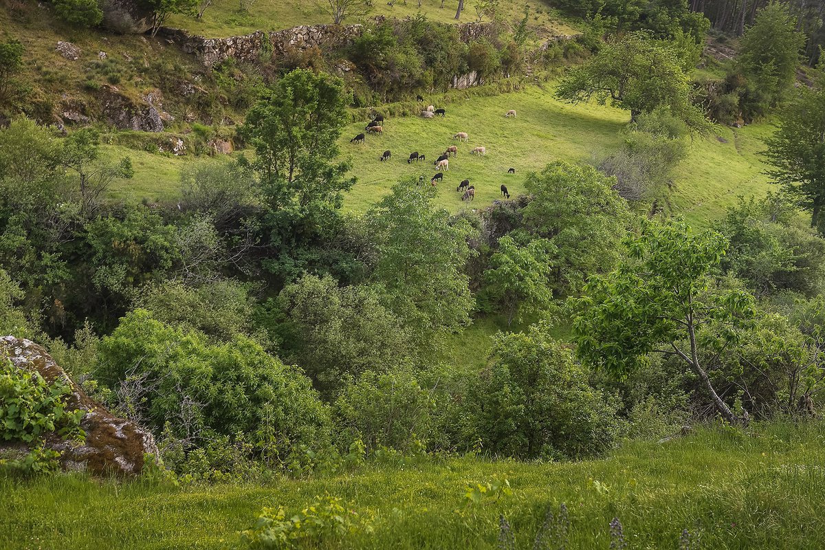
The Eira (threshing floor) route that begins in Loriga passes through a rugged valley, where a vast area of terraced agriculture stands out. In the town, amongst the picturesque houses, old textile factories can be seen as, an eloquent testimony of the woolen industry of the Estrela mountain range.
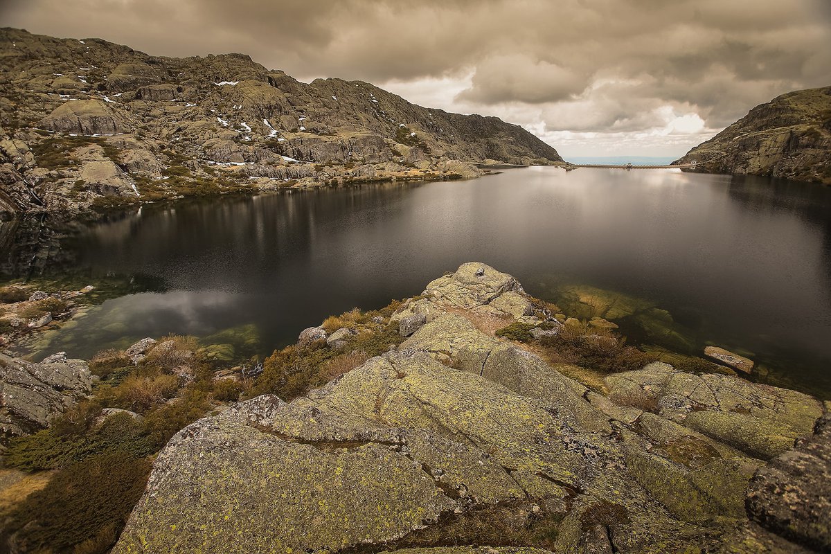
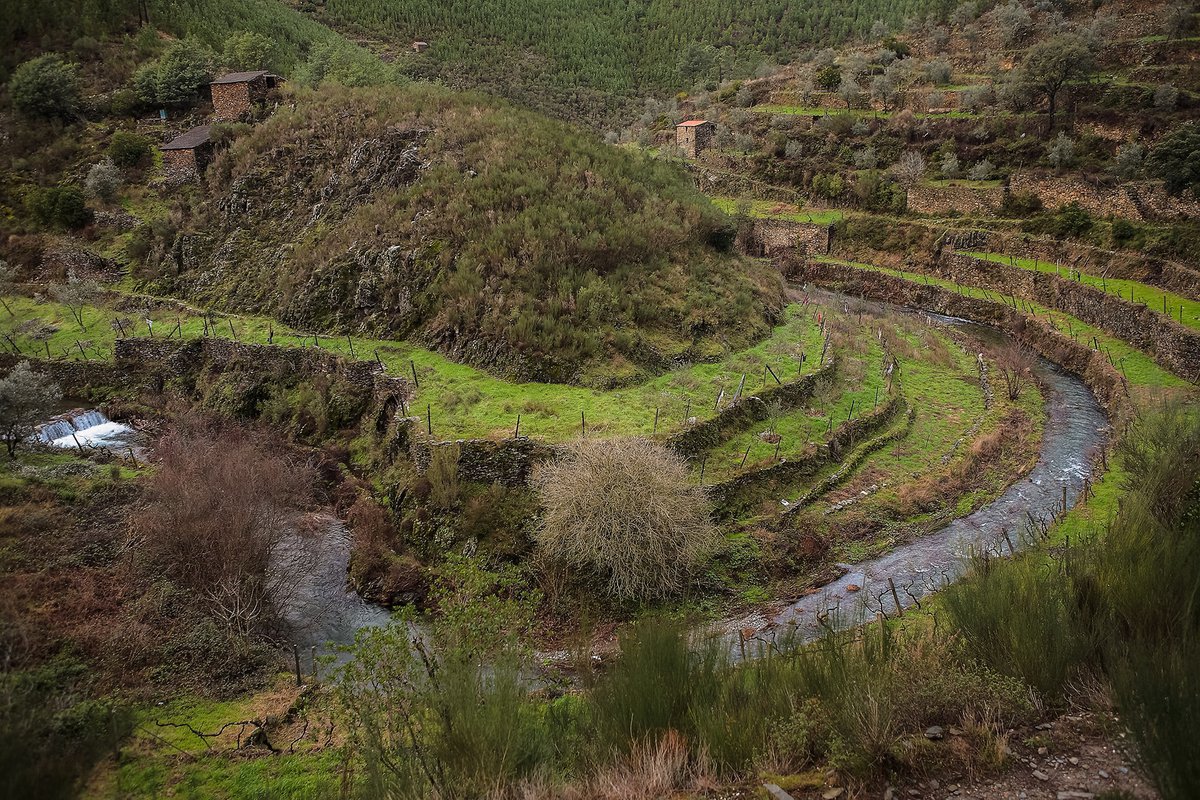
The Mass route follows an old path that ensures the connection between the villages along the Teixeira valley.
The name of this route results the fact that a large number of people, in the past, did this path on foot to attend the Sunday mass at the chapel of N. Sr.ª da Conceição in Teixeira.
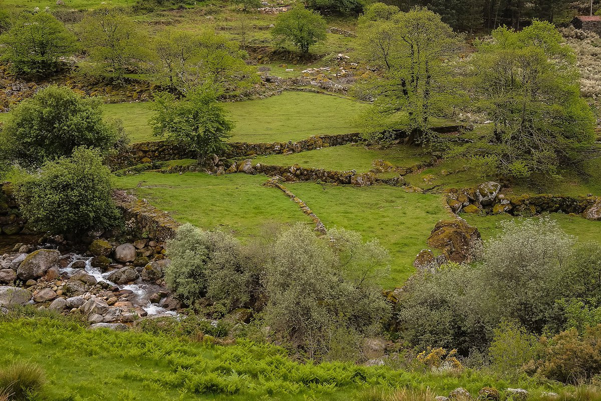
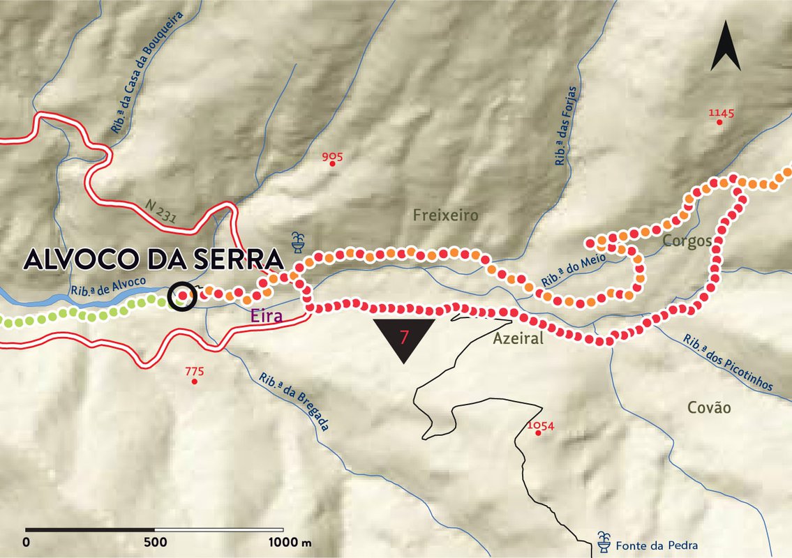
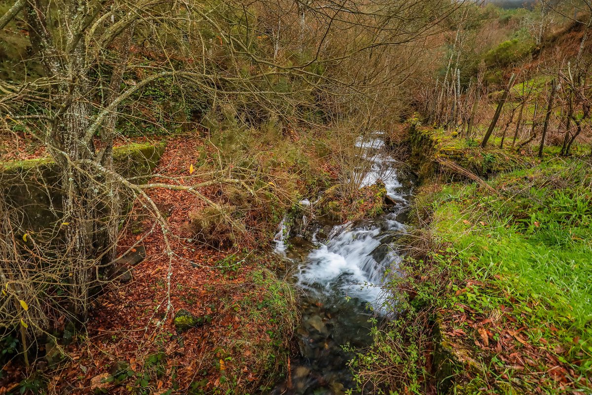
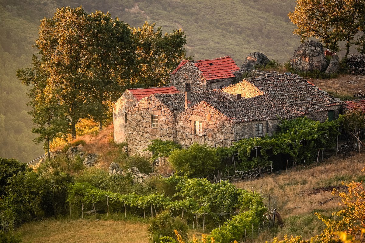
The Canadas route follows an wide natural amphitheatre lodged in the foothills of the south side of the Torre plateau. At the entrance to this amphitheatre, lies the picturesque village of Alvoco da Serra, the starting point of a pathway that develops through a network of intricate stone paths known as “canadas”.

see map