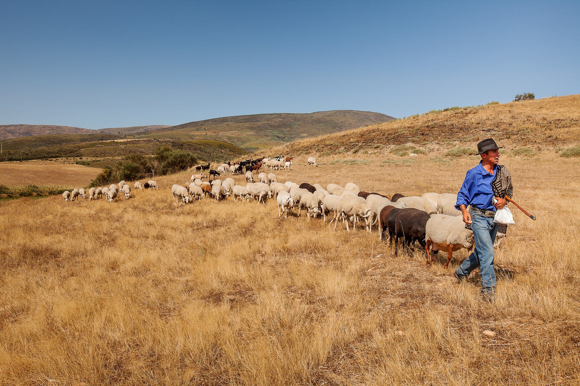
Casais de Folgosinho is located in the upper basin of the Mondego River, at an altitude of about 900 meters, occupying an expressive part of the valley where the largest Portuguese river flows. In this scenario, there is a cultural landscape characterized by a dispersed and low density settlement, which includes cultivation areas, scrubland and, in the fields adjacent to the water courses, meadows. Here, there is a balance between human intervention and nature, with the presence of a high diversity of flora and fauna species.
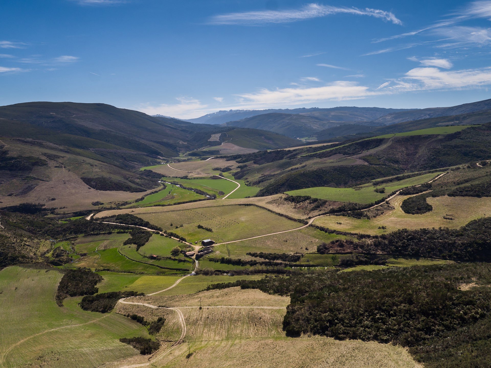
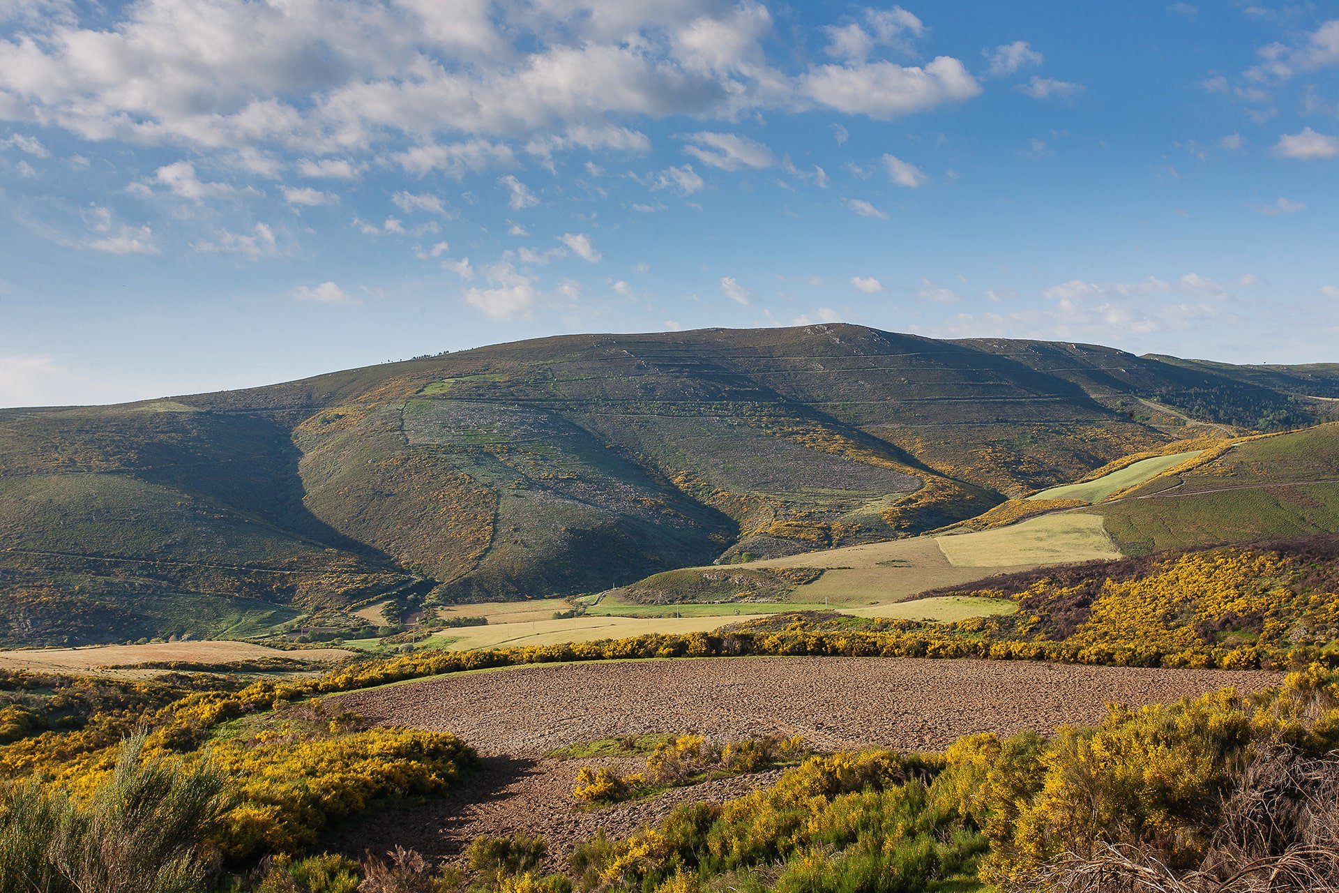
From this place you can get a stunning panorama that covers the entire Alto Mondego area and the highest plateaus of Serra da Estrela. The Mondego valley appears framed by the Corredor dos Mouros, to the east, by the plateau of Santinha, to the west, and by the upper plateau, to the south. In the upper plateau, the highest levels of the mountain are reached, with the silhouettes of emblematic reliefs clearly visible, such as the Cântaros and the Fragões das Penhas Douradas. Separated from this plateau by the notch of the valley where the Zêzere River flows, one can see, to the southwest, the plateau area bounded by the vertices of Curral do Vento, Poios Brancos and Alto da Pedrice.
It's a geossite do Estrela Geopark.
40.458222, -7.494778

see map
 Go Back
Follow our latest news and events.

 3
3


